en
Search
 Haná
Haná
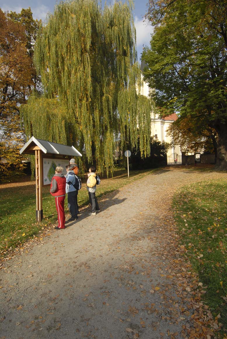
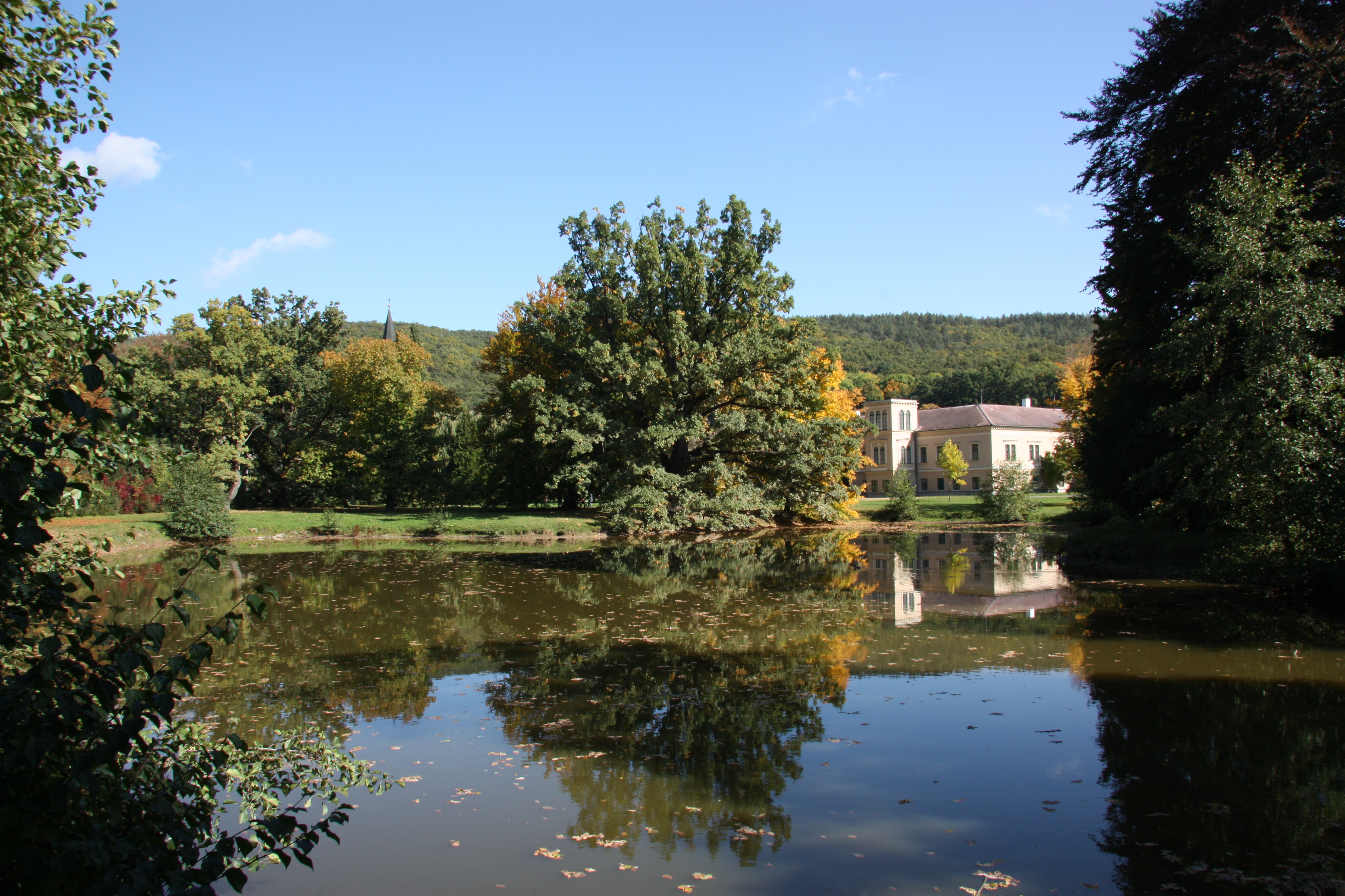
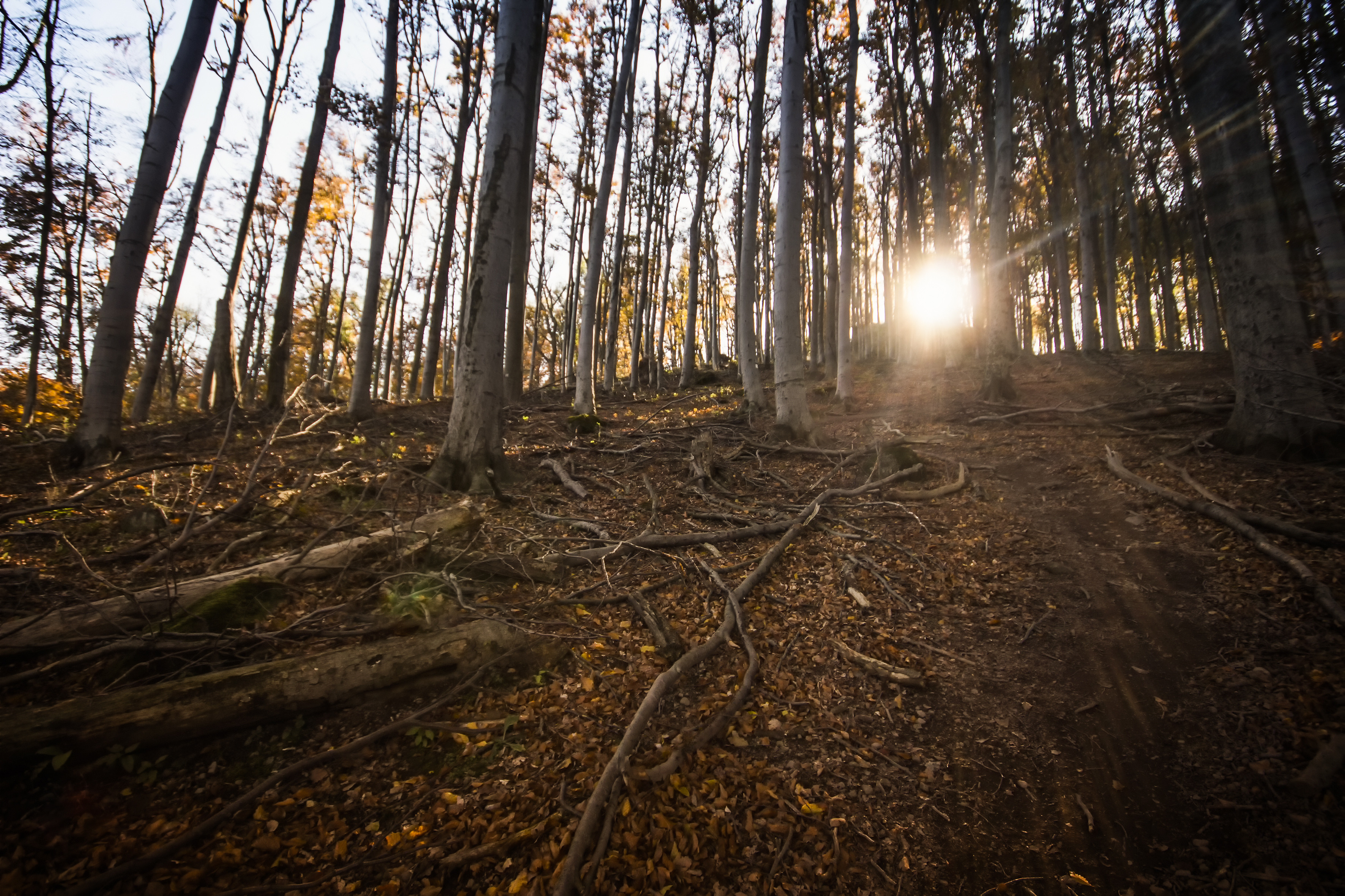
The circular trail around the Velký Kosíř Nature Park visits both natural and historical sights. It is not physically demanding and is easy passable on foot or on a mountain bike. The trail starts on the green marked hiking path leading from the railway station in Čelechovice along an asphalt forest road to the top of Velký Kosíř and then along a yellow marked narrow sunken stony road to Čechy pod Kosířem. Then it passes by the chateau park along the "Hraběcí cesta" and returns to Čelechovice. At the top of Velký Kosíř, it is also possible to take the yellow marked hiking path leading to the opposite (eastern) side to Slatinice via five stops.