en
Search
 Jeseník area
Right at the beginning of the path, in the village of Bílá Voda, there are several interesting places, including the former chateau park, founded in the second half of the 18th century. This once vast plantation has been much reduced and only a small portion remains today (current rare woods include for example a giant arbor vitae, 22 metres high, or a yew more than 300 years old, a nationally protected tree.
Another place of interest is the Kukačka former limestone quarry. In a fairly small area it contains a number of plant types, including some rare and endangered (Gentiana cruciata, Gentianopsis ciliata, Carline Thistle, and many more.)
The cycling path goes on around the protected natural formation Šafářova Rock; above the path are the Kraví cliffs. Both formations are frequented by mountain climbers.
In Javorník, the tiny park inside the Czech Forests building is worth a look, with its valuable foreign woods, e.g. a Kentucky Coffee Tree, a Common Catalpa, a London Plane Tree.
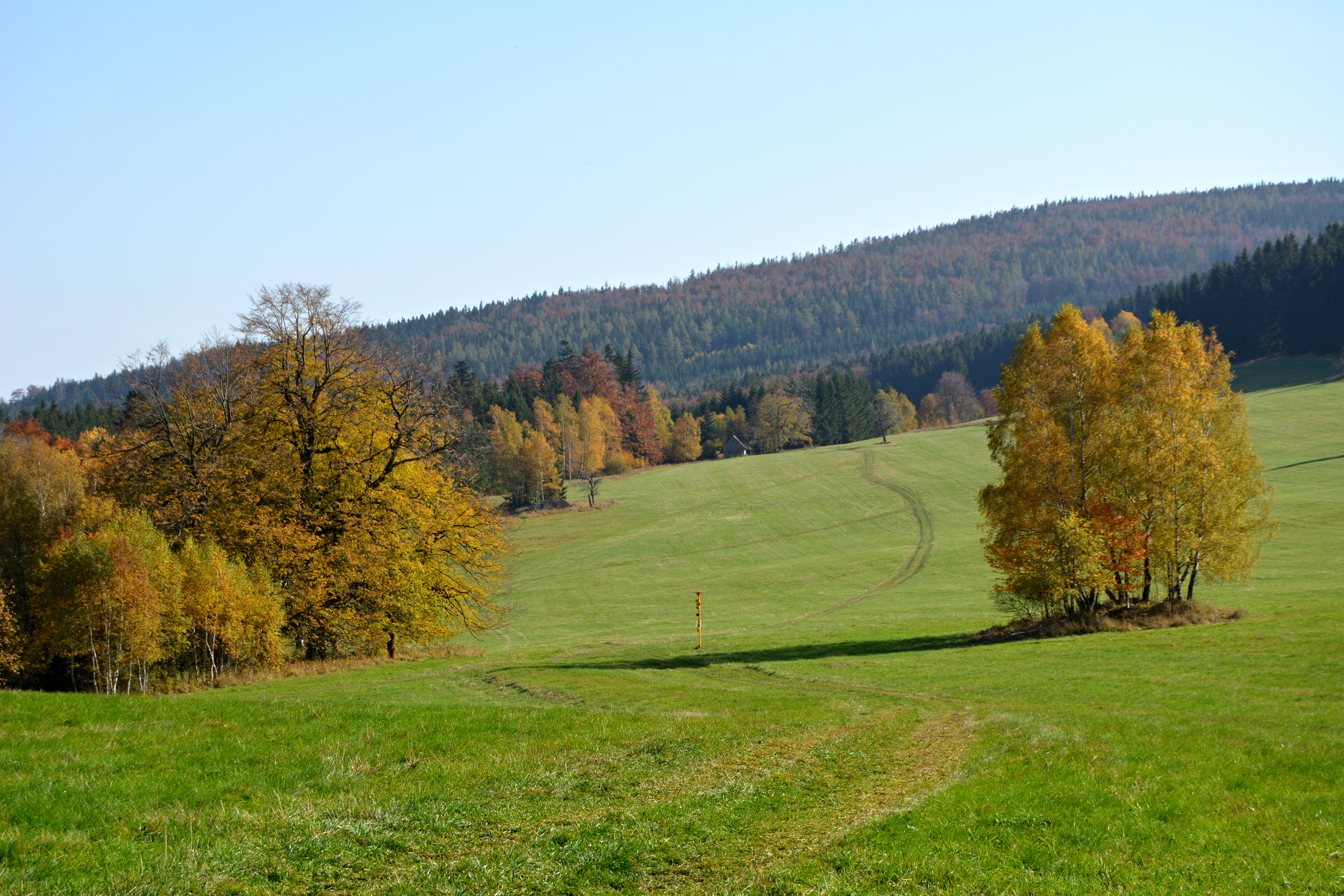
Another station is Račí Valley with a length of ca. 7 km, quite valuable from the biological point of view. In 1998, a nature reservation was proclaimed in the lower part of the valley. The protected area includes land on both sides of the Račí Stream, including the localities of Čertovy Kazatelny (Devil’s Pulpits) and Pustý Zámek (Abandoned Chateau). There are many valuable plants and animals found here (the Black Stork, the Eurasian Eagle Owl, etc.).
From Račí Údolí the trail goes to Uhelná, where the most biologically interesting locality in the immediate area is the former lignite quarry of Pelnář. Many types of fish are found here, as well as amphibians, insects and birds.
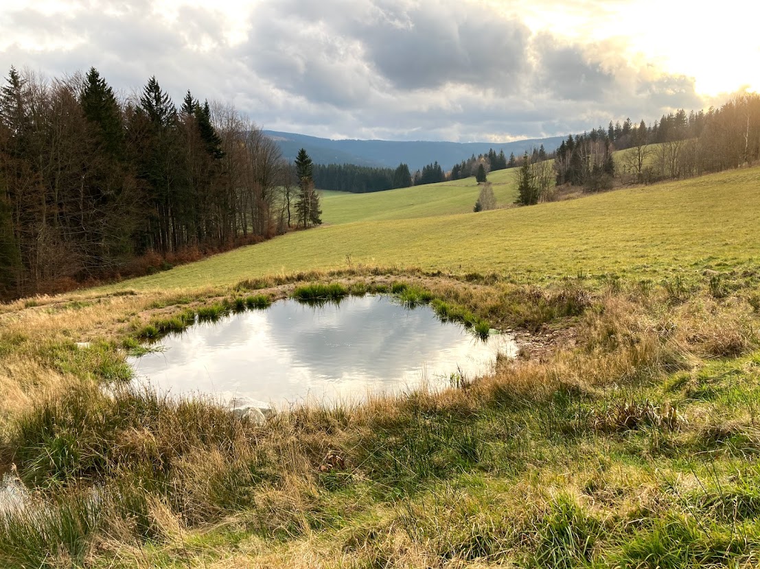
The last station of the instructional nature trail is Hraničky. In the year 1921, it had 192 inhabitants, living in 41 houses. Today there is only one building standing, not constantly inhabited. Typical for this area is variegated meadow vegetation and here we can find interesting plants and protected animals, for example the tiny whinchat bird and the mysterious corncrake.
Length: 37 km
Number of Stations: 8
Access: The instructional nature trail runs along cycling path no. 6044