en
Search
 Jeseník area,Šumperk area
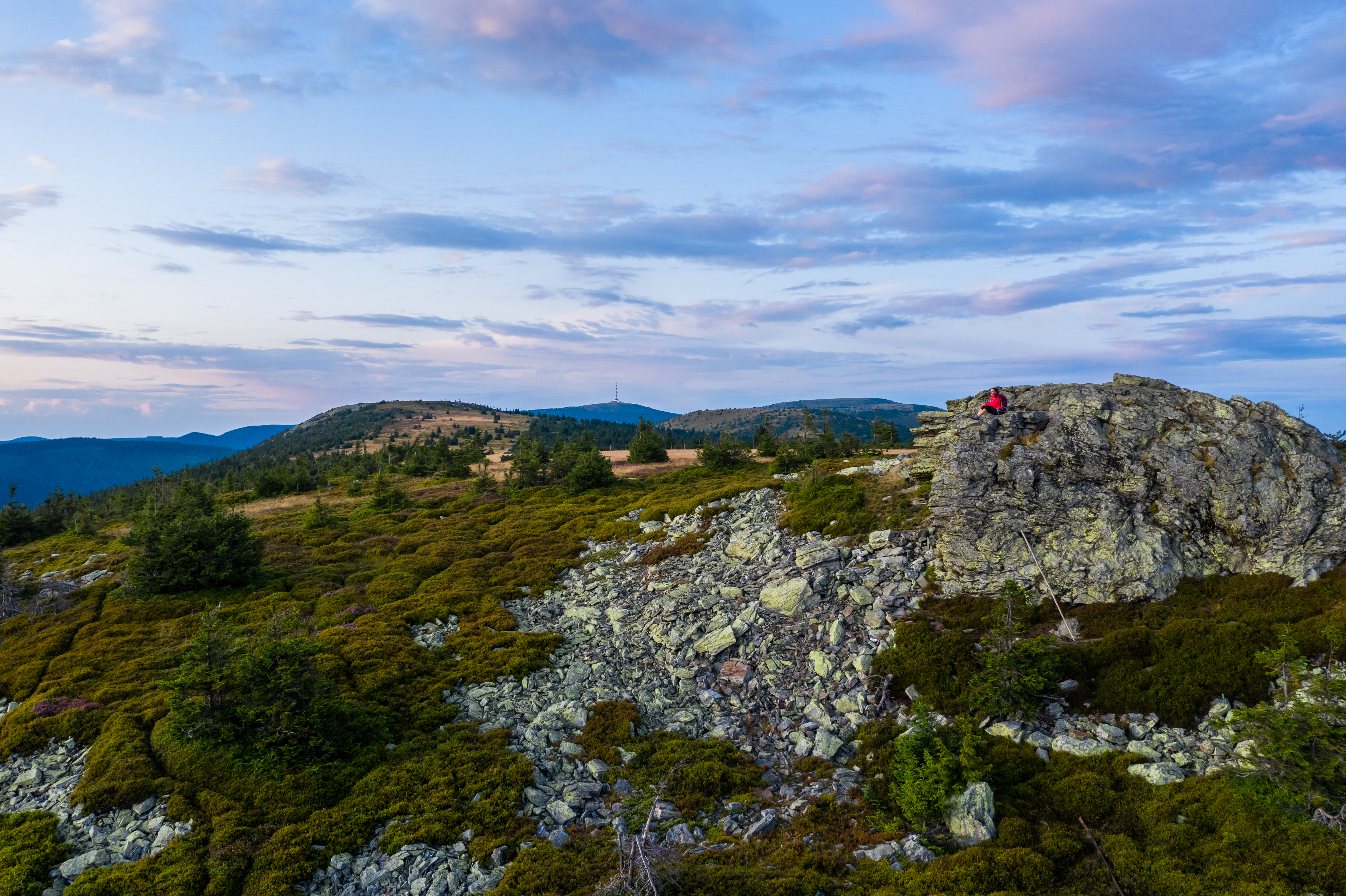
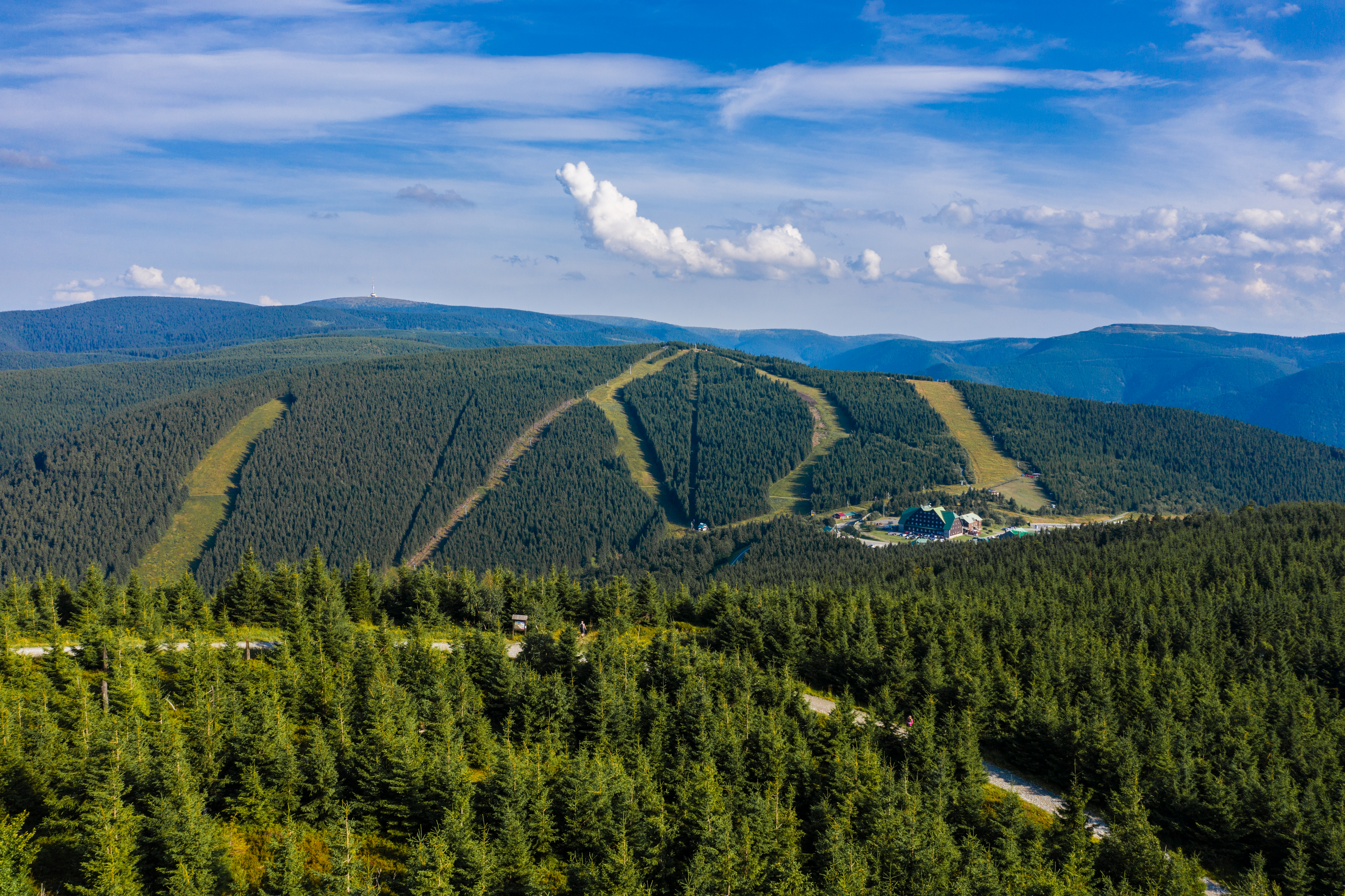
The mountain saddle of Skřítek divides the lowest part a of the Hrubý Jeseník from the Hraběšická hornatina (Earl Hilly Region). The saddle is an approximately 2.5 km long and several dozen meters wide plateau serving as a starting point for various ridge hikes. Starting here, for example, is a trail across the main ridge of the Hrubý Jeseník with several very impressive viewing points. Part of the saddle is the peat bog which has been declared a national park, although it is not open to the public. Nearby attractive localities include Ztracené kameny (Lost Rocks), from where a breathtaking view is presented to the visitor, the ruins of Rabštejn Castle, nearby to which are climbing rocks, nearby Mravenčí cesta (Ant Path) full of huge anthills or the rock formation Čertova stěna (Devil Wall). The saddle is also known for the rock sculpture of Skřítek (Elf) the good spirit of the Jeseníky Mountains.
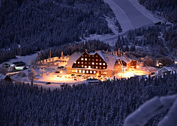
Under the saddle of Skřítek lies the community of Klepáčov where one can find comfortable accommodation. This mountain hamlet in the lovely valley of the Klepáčov stream is proud of its wooden timber church.
It is also a recreational centre with numerous opportunities. The environs of the town of Velké Losiny are extremely interesting for tourists. Here are located a whole range of monuments which can be reached along well-marked trails. Of particular interest are the unique wooden churches in Maršíkov and Žárová. The noteworthy mineralogical nature trail Sobotín-Maršíkov, the first of its kind in the country, also leads through an area which will take you to the most significant mineralogical localities and perhaps even lead to the discovery of some minerals on your own with a little luck. Also attractive is the forest eco-path Švagrov leading around Vernířovice where one can make acquaintance with the local nature.