en
Search
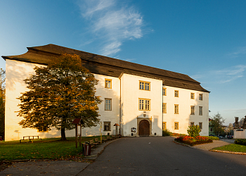
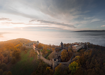
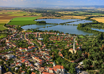
 The Moravian Gate
Route: Valašské Meziříčí - Hranice - Lipník nad Bečvou - Přerov -Tovačov
Starting point: Valašské Meziříčí
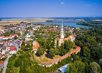
Destination: Tovačov
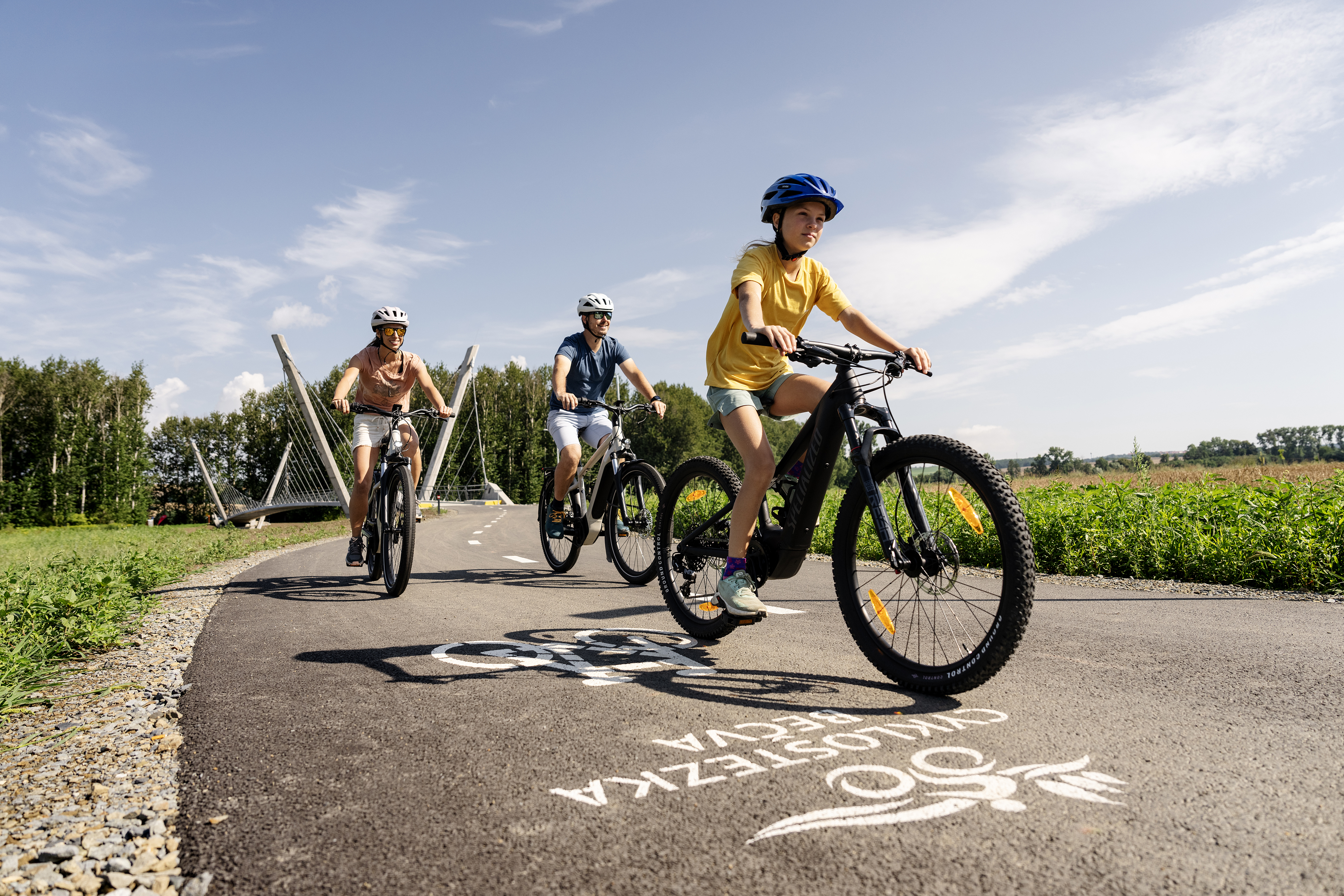
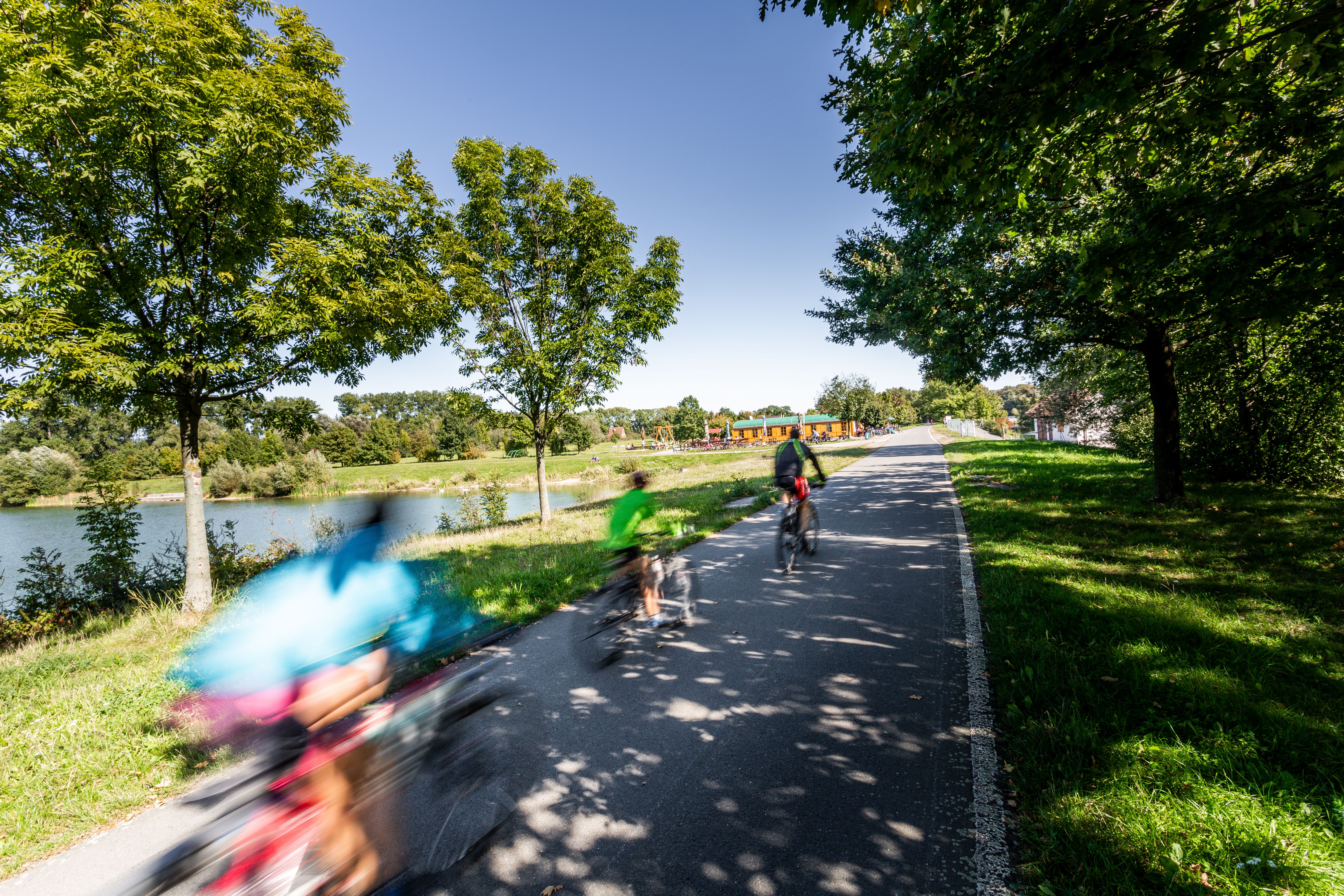
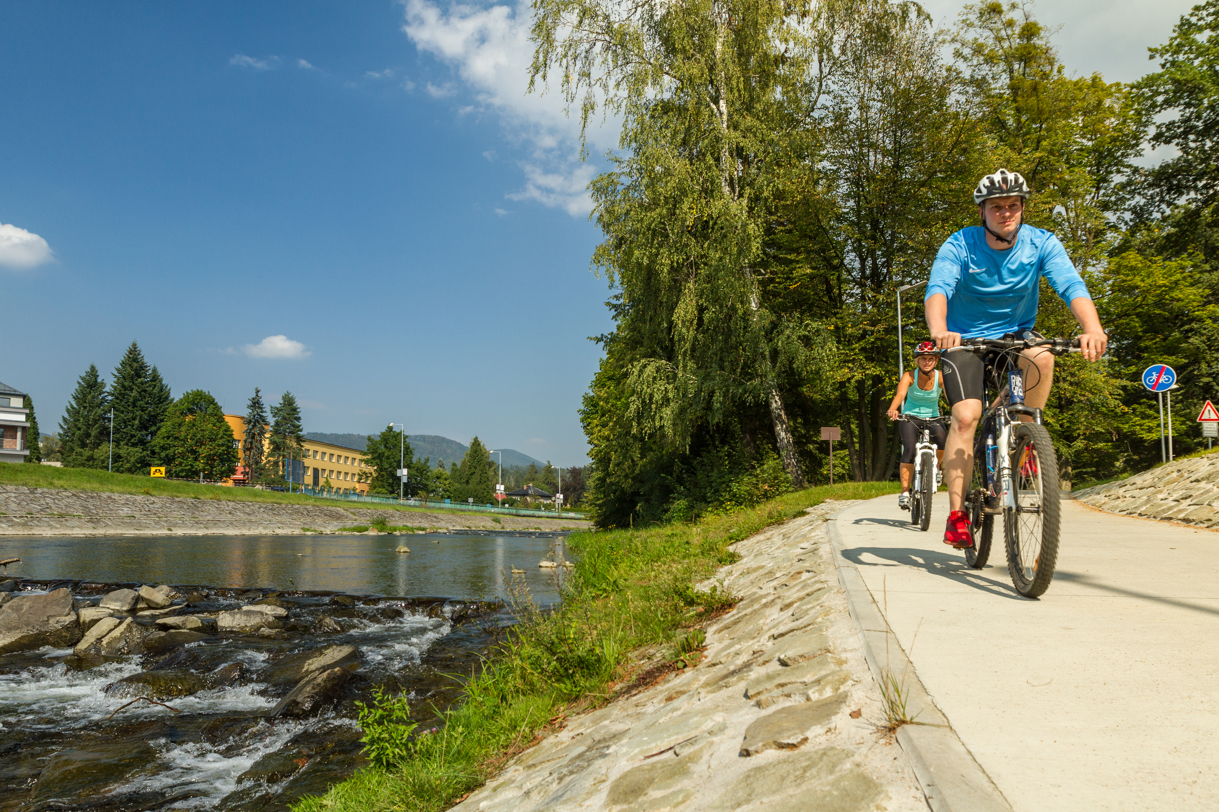
A large part of the cycling route runs along newly built sections with the exclusion of motor traffic. A part of the route is on low-traffic local roads and paved forest and field paths and the actual minimum of the route has to be covered on roads. The section without motorised traffic: Hranice - Přerov (26 km). The section Troubky - Tovačov - the route is 3.5 km long on the Class II road No 434.
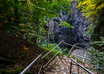
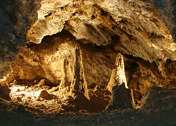
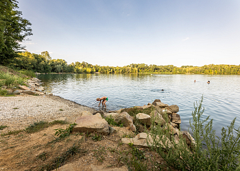
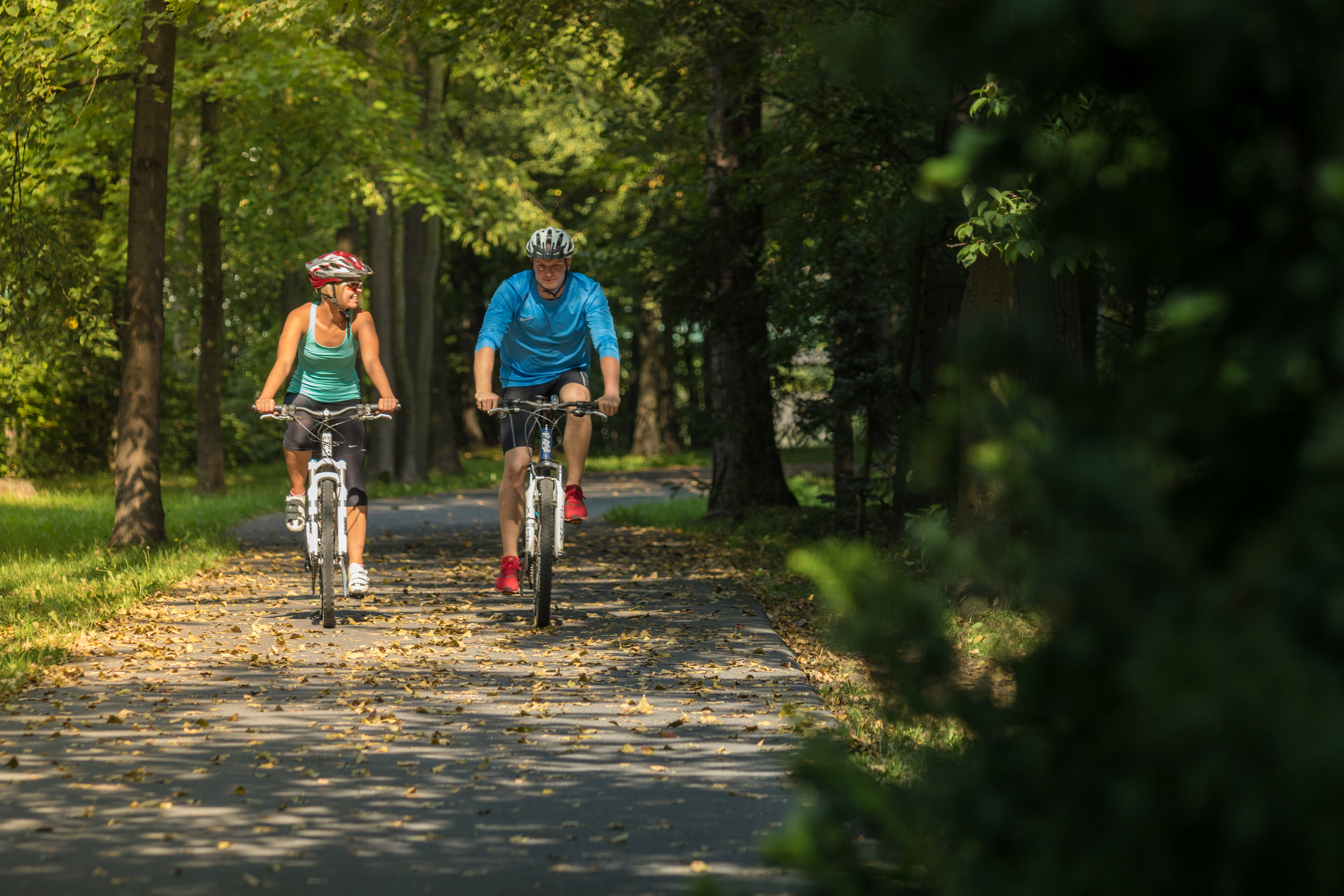
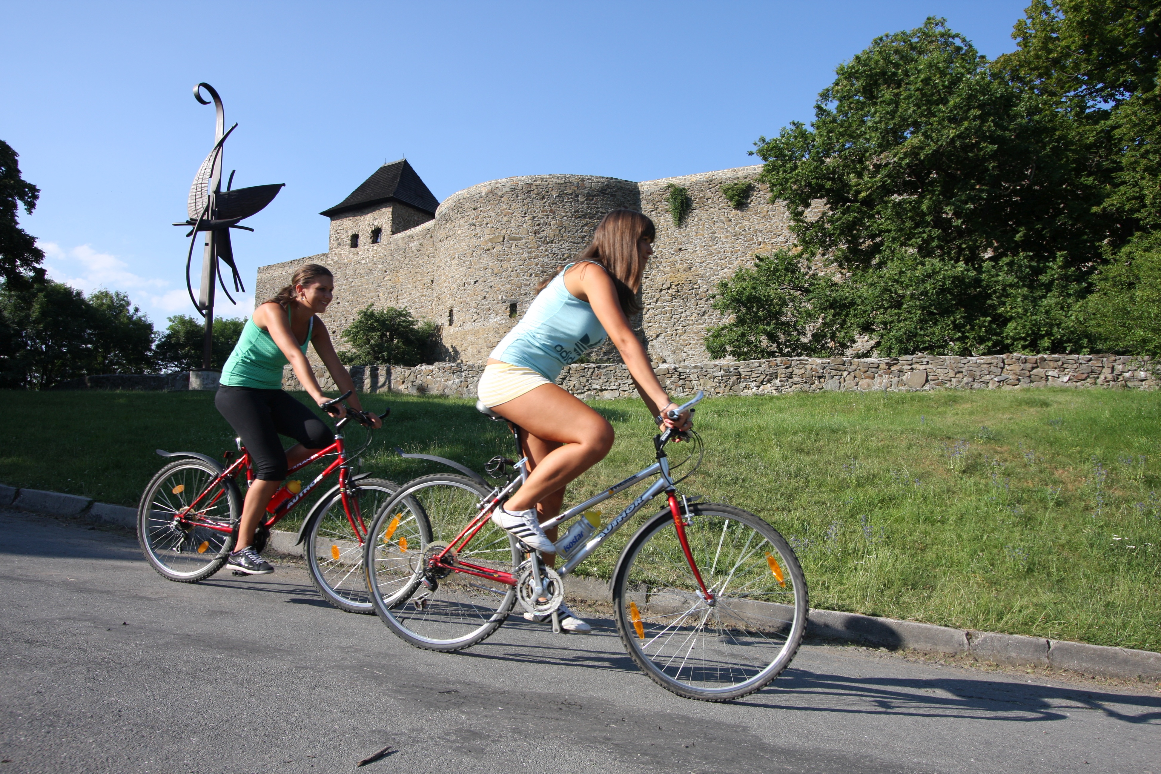
The Bečva cycle path is a unique project of the so-called first C1 cycle highway. It starts from the source of the Rožnovská or Vsetínská Bečva and heads to the confluence with the Morava River. A total of 160 km of signposted path guides cyclists around the Bečva River through the Zlín and Olomouc regions. From the headwaters of the Rožnovská and Vsetínská Bečva to the confluence with the Morava River, the Bečva Cycle Route offers you the opportunity to discover the sights, natural beauty, folk traditions and local specialties of Wallachia, Moravian Gate and Haná.
www.cyklostezkabecva.cz
The bicycle route is accessible by train in the sections of Valašské Meziříčí-Velké Karlovice | Valašské Meziříčí-Rožnov pod Radhoštěm | Valašské Meziříčí-Přerov. You can travel with the bike on the train or have it stored during the transport.